Maps Export Files
We appreciate no one company is the same, this is why we provide a range of export file options (DWG / DXF) for use in drawing software. Here we tell you a little more about the options available.
The examples below are available as DWG and DXF files and our team can change your default at the click of a button. Contact us to discuss the best option for you.
Colour
This is the default file type. When opened in drawing software they will appear as below:
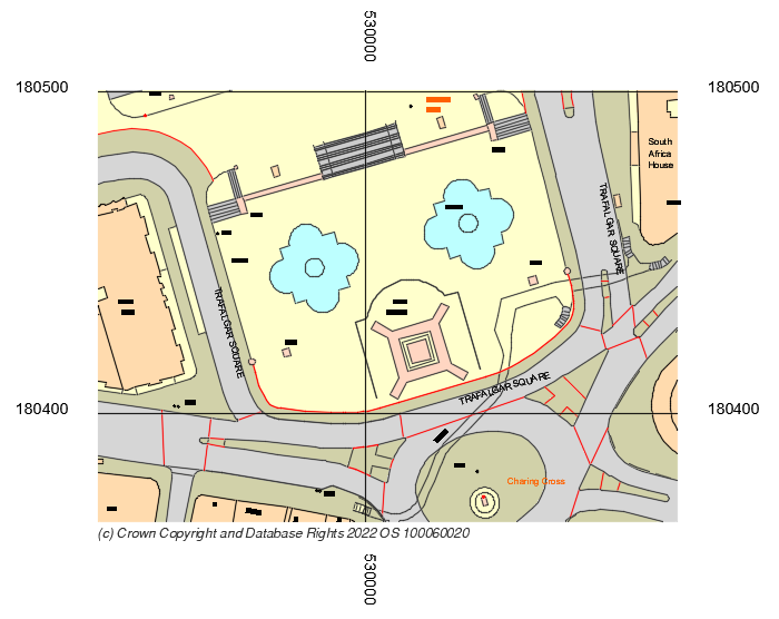
White background
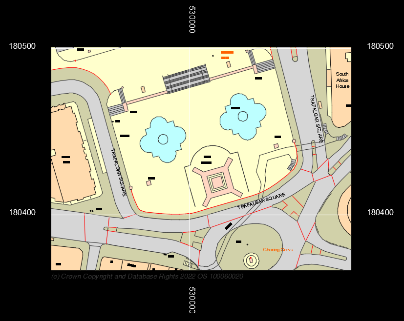
Black background
Black & white
This is the Black and White version of your file:
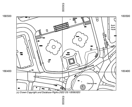
White background
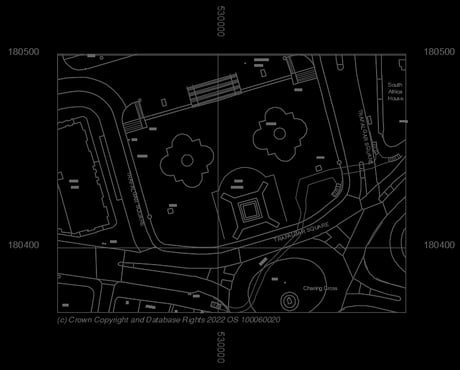
Black background
Black / White – Blue line
This version has a blue line highlighted:
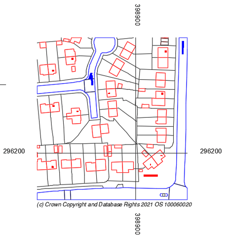
White background
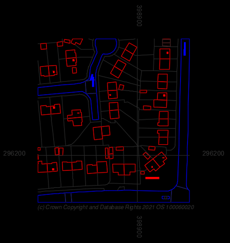
Black background